Hartfield High Street – Introduction

This is the whole of the High Street and Church Street as illustrated on the Parish Map of 1842
This is a small section of The Buckhurst Terrier (c.1597) showing Hartfield High Street with St Mary’s Church clearly marked – as is the ‘Towne Crofte’ and ‘Hartfielde Greene’. Unlike modern maps The Terrier is drawn bottom left NORTH, top left EAST, top right SOUTH, bottom right WEST. Thus the road lower left is the Edenbridge road and the road centre right is towards Forest Row.
Hartfield High Street from the Southern end by Pooh Corner – with thanks to Neil Reed.
Another High Street picture running left to right with Church Street heading up to the church. Thanks to Neil Reed.
St Mary’s Church and the High Street as used on the original Hartfield Guide first edition 2002
Tony Goddard produced this wonderful 3-dimensional drawing for the Millennium Map.

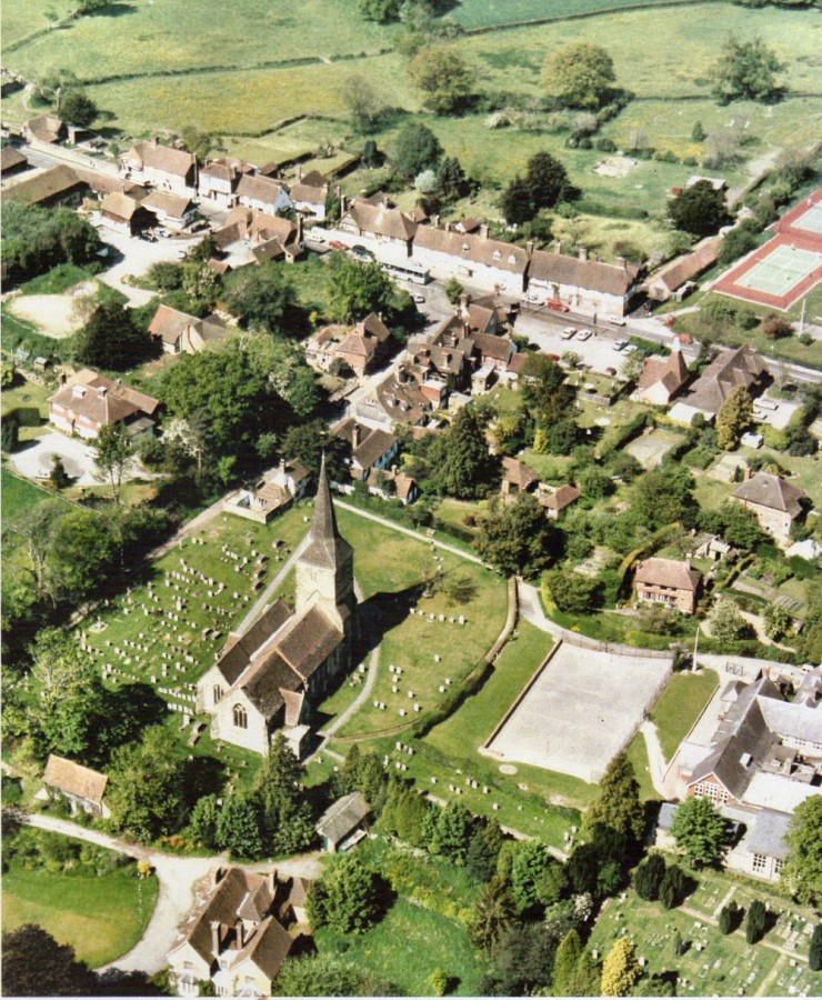
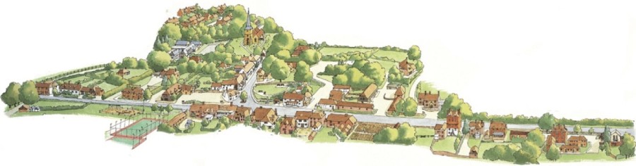
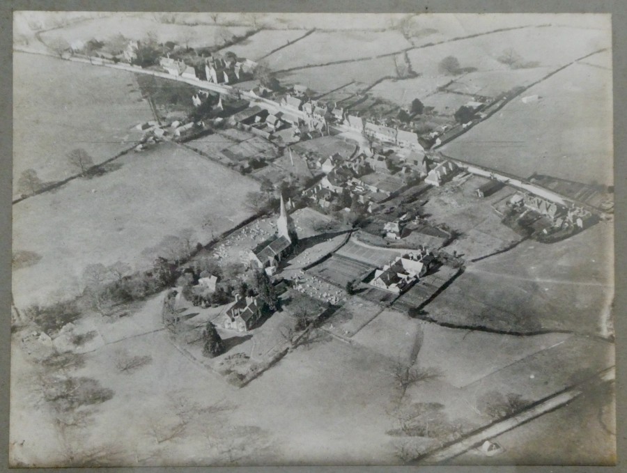
Due to the number of pictures and the concentration of houses in the Central Section, the High Street has been split into 3 sections and Church Street has a separate section of its own.

You can use the links in the index or click below on whichever section interests you first.

Link for Northern Section, Chessons Corner to Vine Cottage – NORTH

Link for Central Section, Vine Cottage to Chestnut House – CENTRAL

Link for Southern Section, Chestnut House to Hartfield Oak – SOUTH

Link for Church Street from High Street to Lychgate Cottage –CHURCH STREET