High Street Hartfield – Northern Section

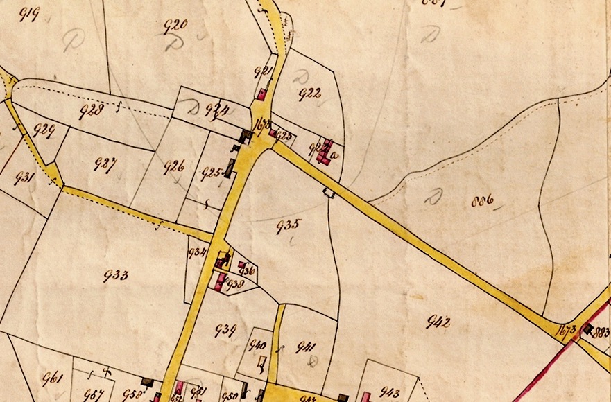
Chessons Corner to Vine House

This piece of the Hartfield Parish Map of 1842 shows what we know as Chessons Corner today.

The road at the top is now known as the Edenbridge Road. The road going off the bottom of the map is the High Street and the road to the right is Castlefields, going to Withyham.
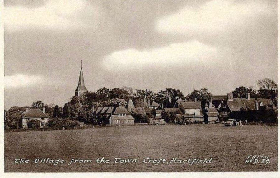
Field 935 is Hartfield Green and field 933 is The Town Croft.
The yellow track to the left is the track running up to the Pavilion of today by the ‘pinch point’ and there is no sign of the road to the Medical Centre except for a boundary line starting at Crown Farm L shaped black building within the field marked 924. A dotted footpath continues on through 928 joining the one along 933.
The sharp bend at the end of Castlefields shows a road continuing on by the number 1673. This was at that time a direct road to several fields belonging to the Buckhurst estate.

This map was the result of a survey in 1873, revised in 1929 and you can see an arrow with the letters G.P which stands for Guide Post or Guide Point and indicates the position of the toll barrier
This is Tollgate Cottage which is the red block on the map numbered 923 on the 1842 map. The name refers to the toll or fee charged for using the road.
This postcard shows Tollgate Cottage with the very recognisable picket fence around a garden to one side and then Green Cottage. The title on the postcard says Green Cottages because all the cottages around the Green were called that at one time!
This is the only remaining Green Cottage retaining the name having gained tile hanging and a nice porch
Mr Chesson Snr. filling a car with petrol from a hand pump mounted on the wall of Tollgate Cottage!
Chessons Hartfield Garage with two cars and Alexander House in the background
Here we can see Alexander House has been built in the garden of Tollgate Cottage and you can still see the picket fence. You can just see the garage to the left of the cottage.
A similar view showing that Tollgate Cottage has been demolished. Today it would have been protected.
View across the Green from the High Street showing the housing development around the corner on Withyham road and the recently finished development.
St Mary the Virgin Church and St Mary’s Church of England School, opened in 1842 seen from the Green
Hartfield Garage in its last appearance
Completed corner with the new home called ‘Chessons’ following a request to the Chesson family to use their name for the house, which they were happy for them to do. On the far left is Old Crown Farm.

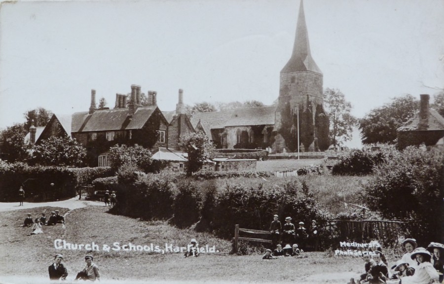
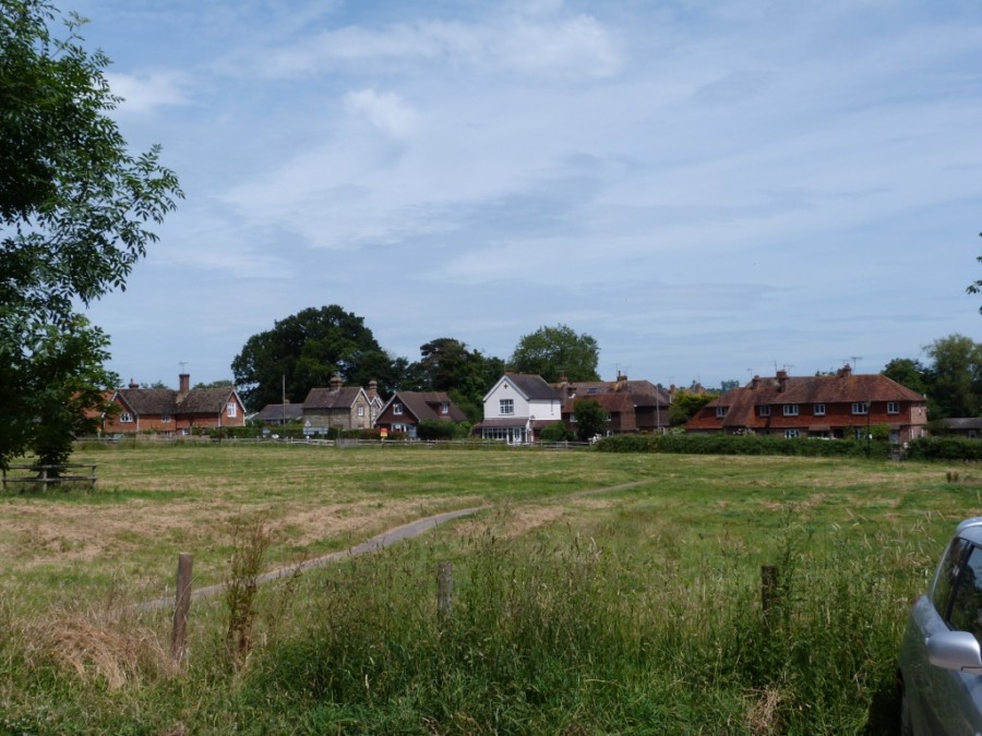
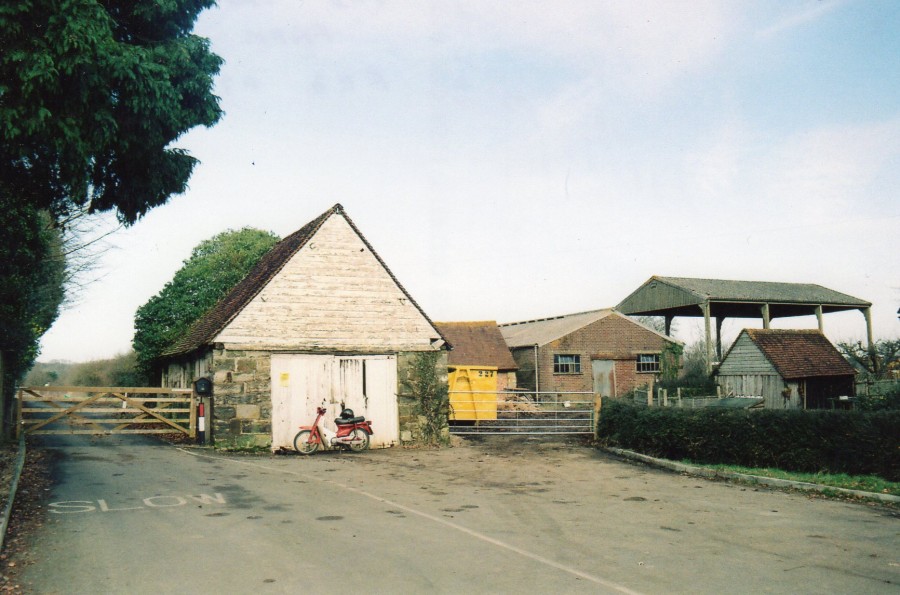
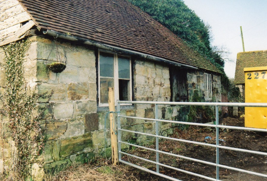
Old Crown Farm including a view across the Green from the lane to the school.

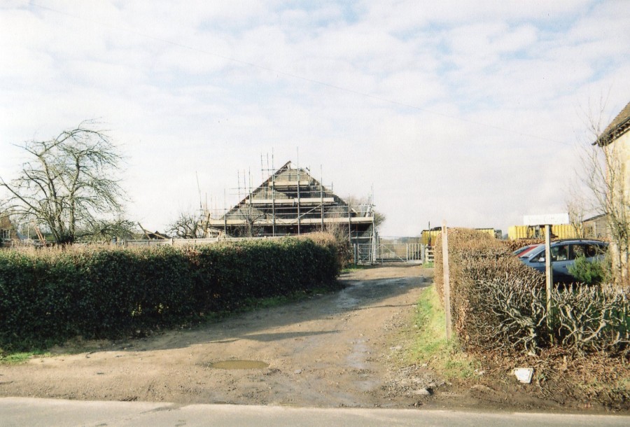
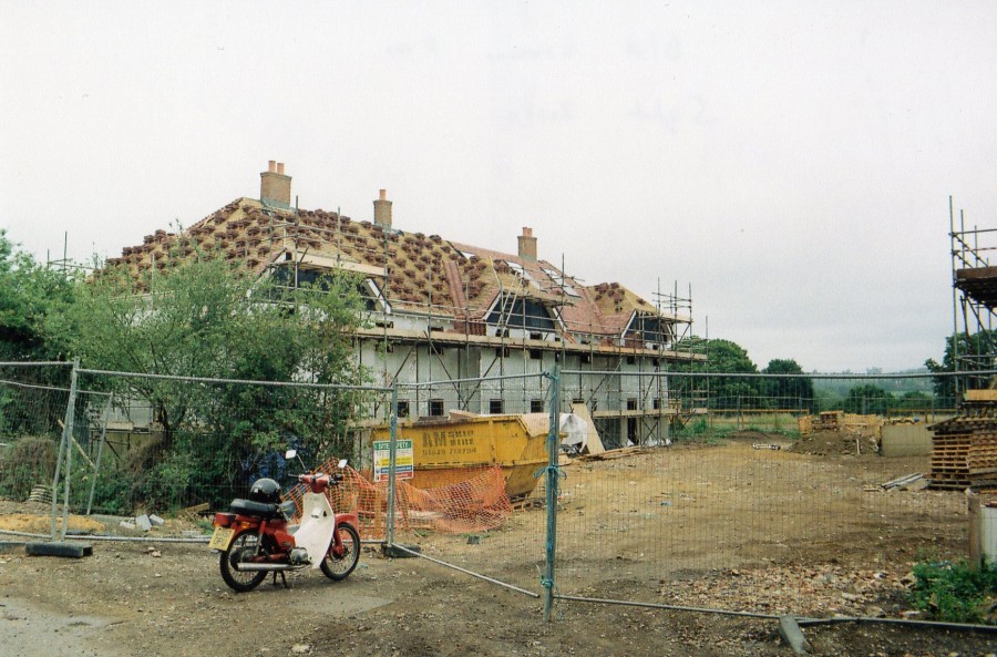
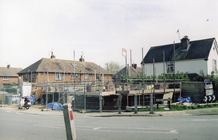
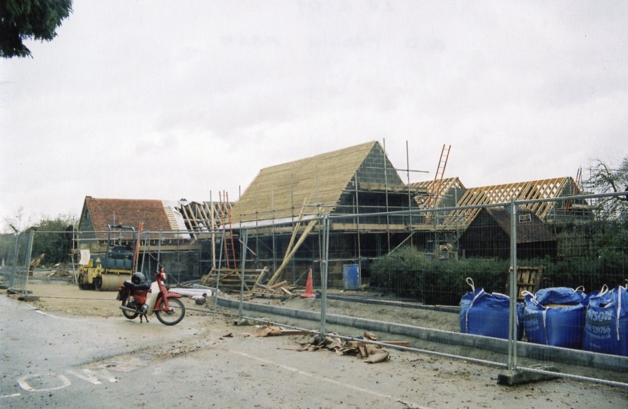
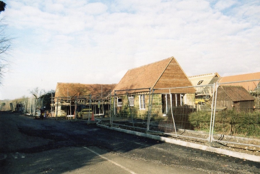
Old Crown Farm development.
Note the bike! This is Mike Parcell’s signature as with another local photographer many years ago!

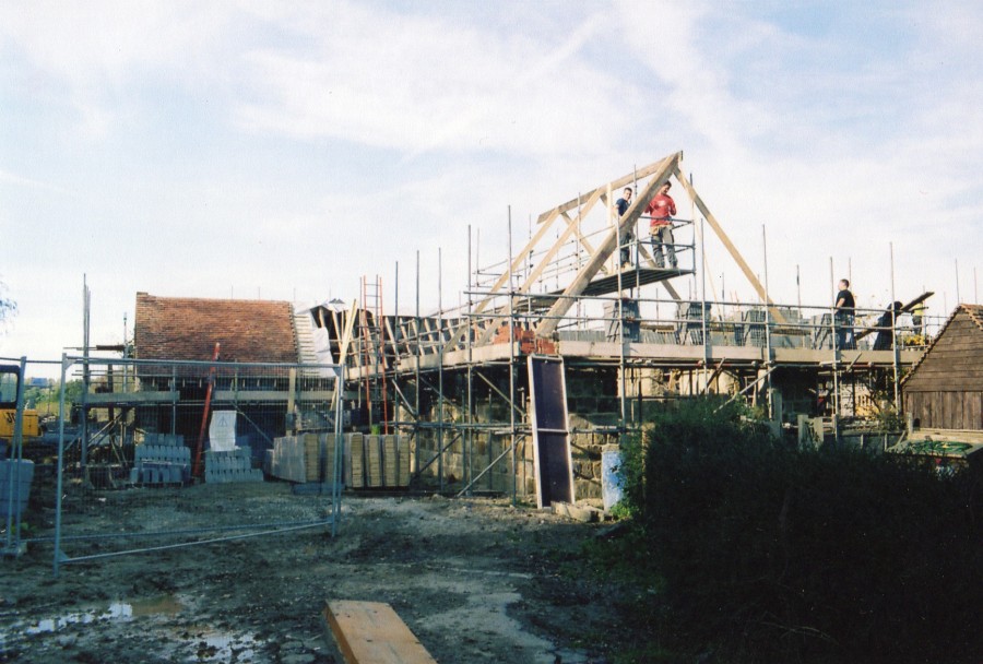
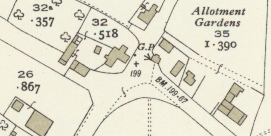
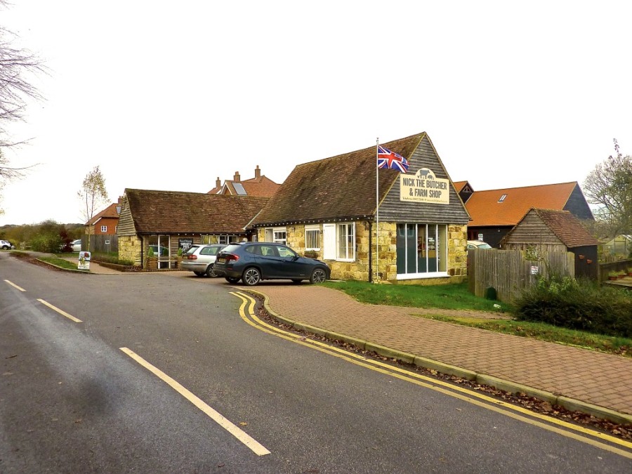
Access to the site to build the new Medical Centre was restricted by the position of one building seen on the left above. The only solution was to move it and this is what eventually became Nick the Butchers!

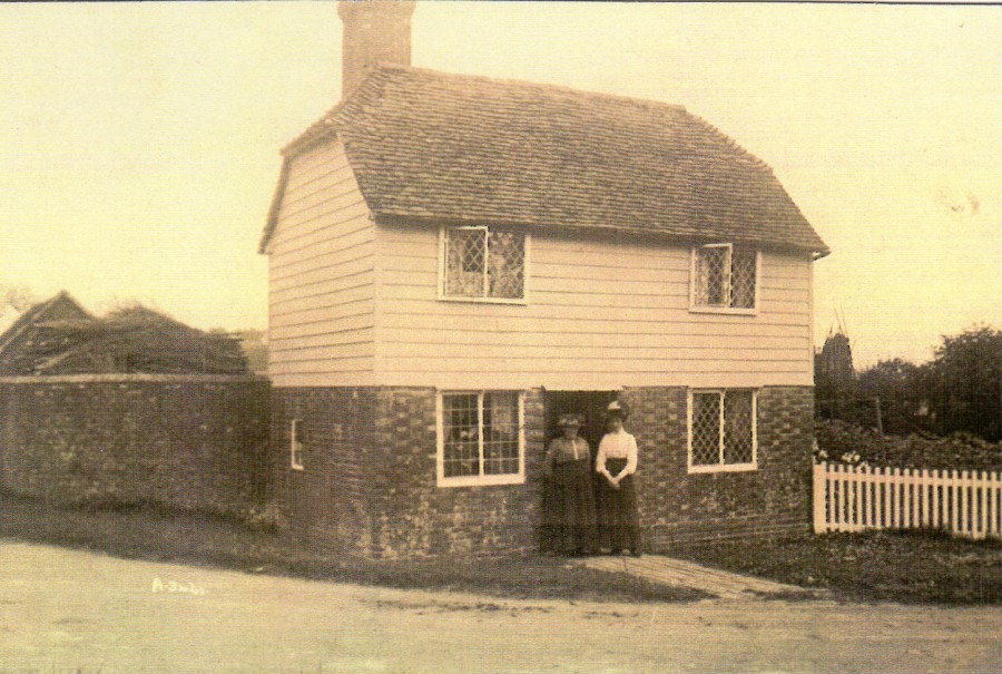
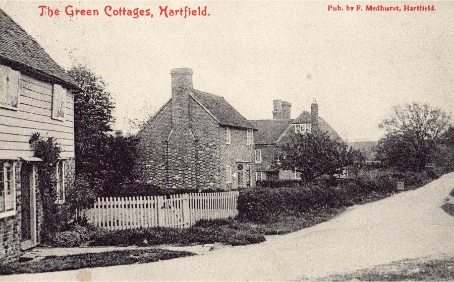
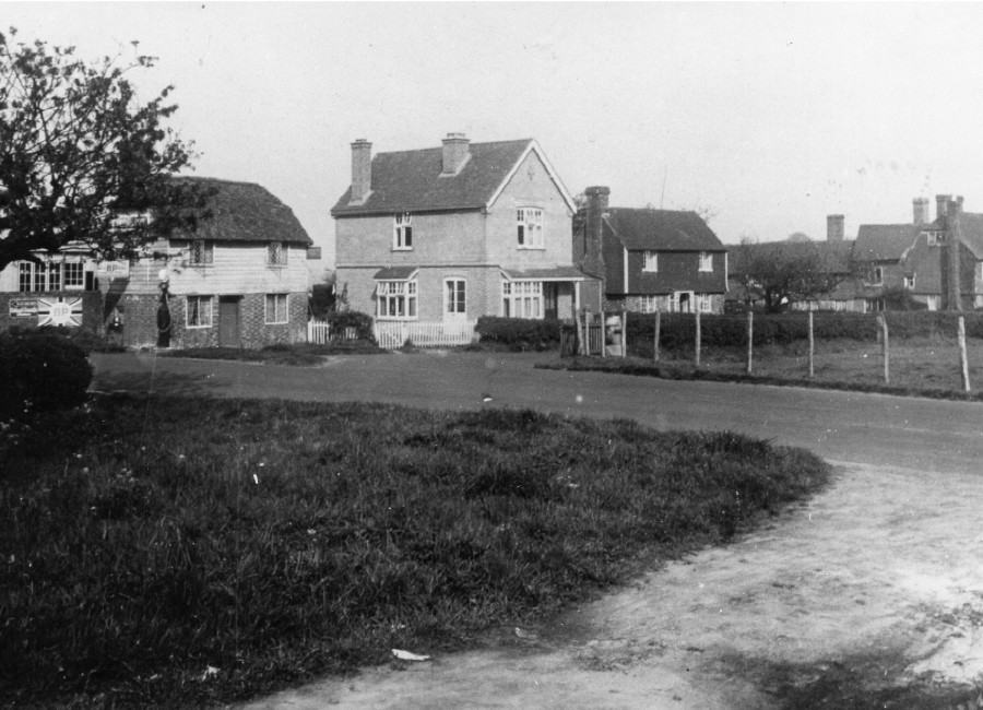
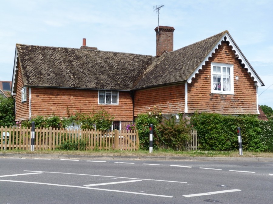
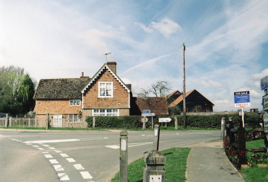
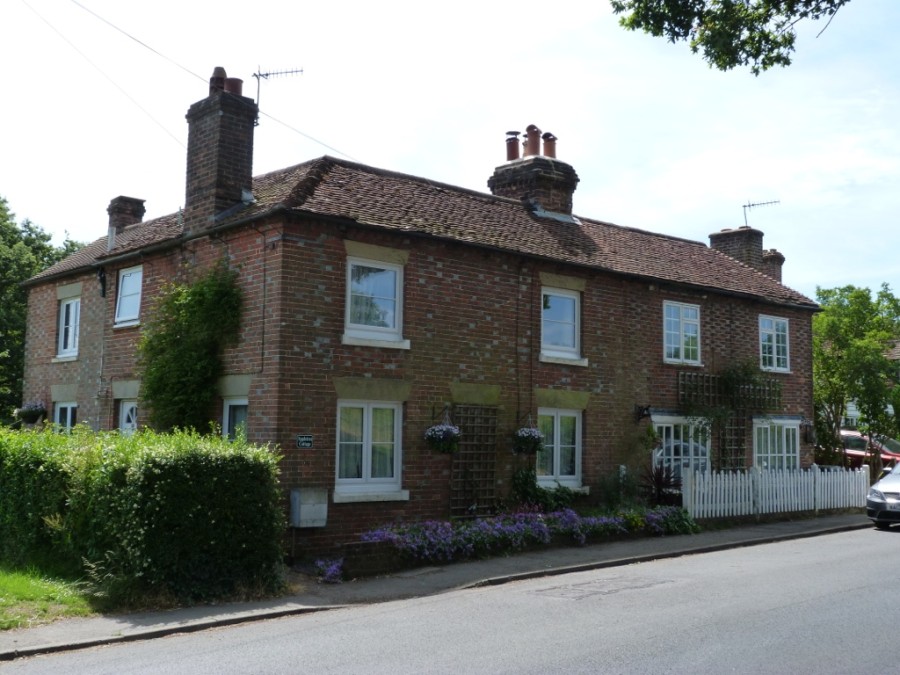
Travelling past the Village Green we come to the other Green cottages that now have new names. First is Appletree Cottage and next is known as ‘Piglets’

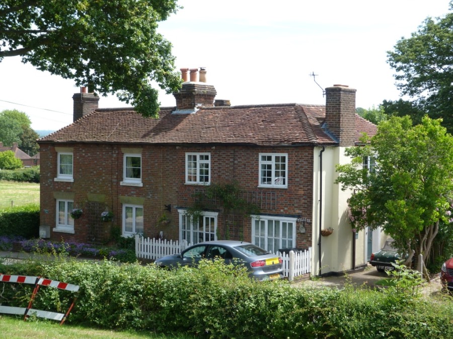
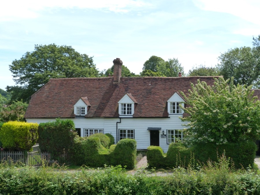
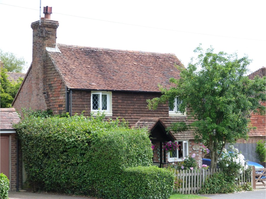
‘Piglets’ was once the home of the village shoemaker, William Maryan and later a newsagent run by Ernest Divall. You can see in the picture below the changed entrance.

The first stretch of the High Street with the toll cottage in view at the far end.
The pinch point and Chessons plus car updates! The Forge has has become Forge Cottage with garages taking up the original forge space. Several chimneys have disappeared.

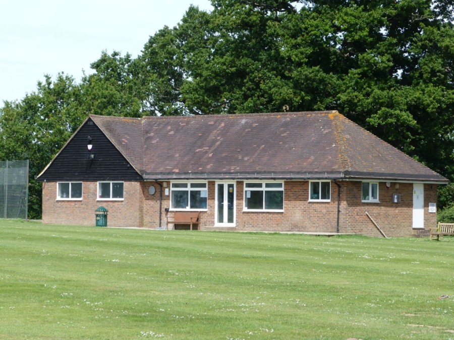
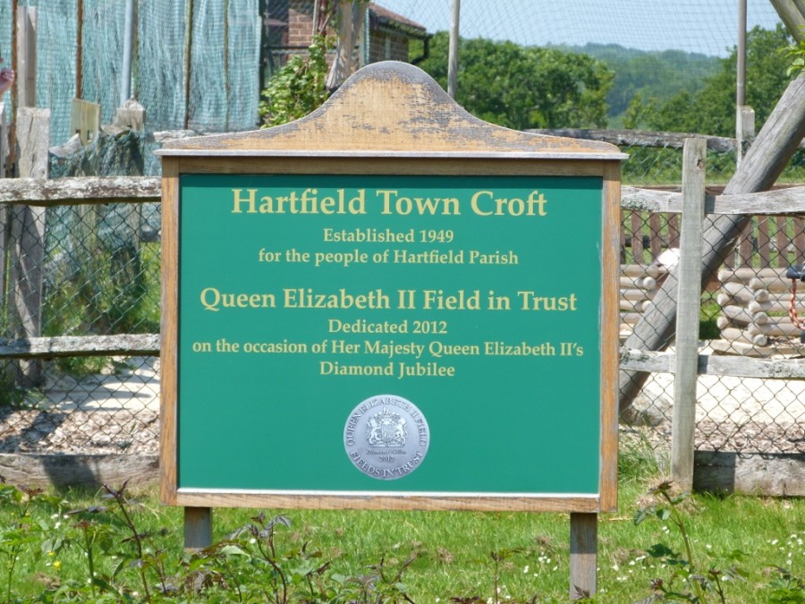
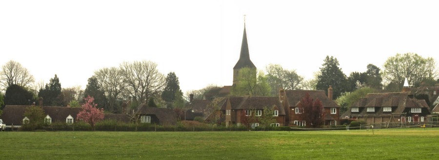
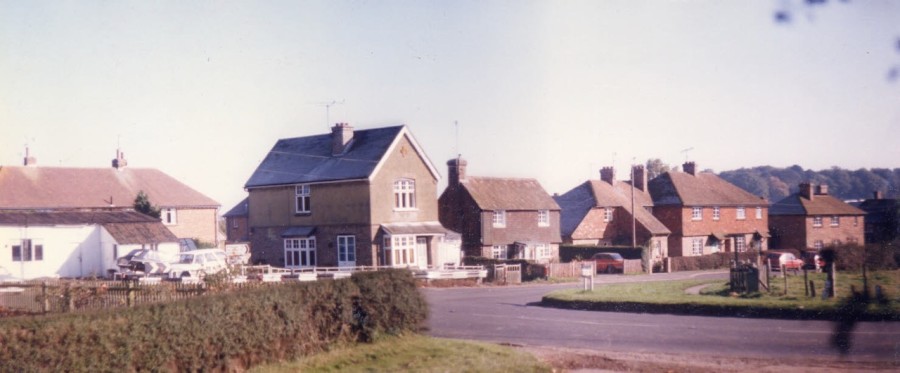
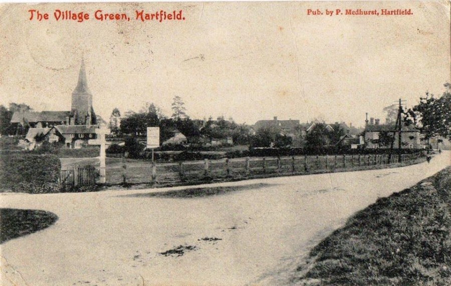
Opposite the houses along this stretch of the High Street is the Town Croft which now belongs to the people of Hartfield and is used for many sports and entertainment such as the very popular annual fete.

These two views across the Croft towards the High Street are at least 50 years apart both showing the Village Hall but new houses to the left of the Hall which was started in 1910 but not completed until after the war.
Sunday School, Hartfield Village Hall steps 1943 from Tommy Mitchells collection, names below

There is more to add on this northern section of the High Street but in the meantime you can visit the Main Central Section here

High Street Hartfield – Central Section

OR the Southern Section here

High Street Hartfield – Southern Section

North of Chessons corner and the High Street comes Stone Cottage where Sargeant Shelley had a cell for miscreants, on the bend was the location of Shelleys transport, an important part of Hartfield history and once a sand quarry.

The Railway & Playgroup have their own section along with the Coal Yard development and Parish offices and even the railway bridge. The Railway

Further north takes us to lots of important and ancient places such as Bassets, Bolebrook or Bolebroke and Perryhill before reaching Colestock crossroad close to the Parish boundary. These locations will mostly be in the section Historic Buildings